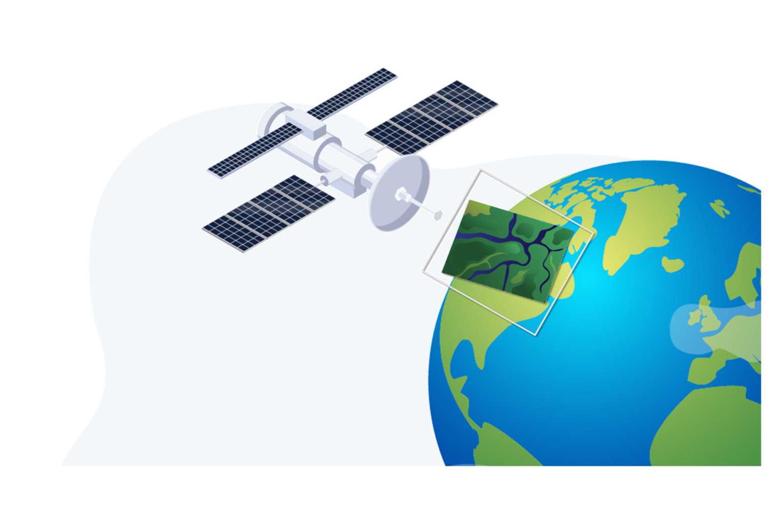
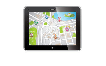
UNLOCKING THE POWER OF GEOSPATIAL DATA
WITH CUTTING-EDGE TECHNOLOGIES AND ADVANCED ANALYTICS
Discover More
About PCI
PCI specializes in providing excellent Geo-IT solutions from state-of-the-art software, project consultancy, system design, systems integration to deployment and training.
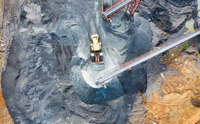
PCI offers integrated sales & services in the areas of geospatial, engineering & construction, mining, agriculture, utilities & energy, environmental & natural resources, defense & intelligence, urban & regional planning, telecommunications, transportation and smart cities.
PCI is a leading provider of Geospatial, Engineering and Information Technology solutions and services.
PCI has alliances with the leading manufacturers across globe to provide innovative products and solutions with 100% client satisfaction.